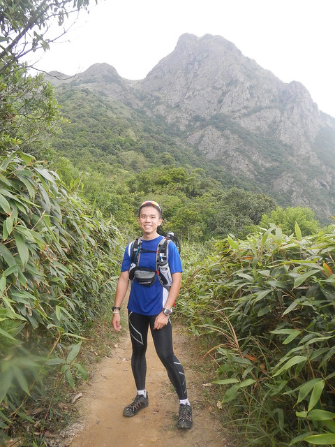
The race starts at 0800Hr. I did not manage to sleep well. Anxious? Maybe. Archer's snoring did not help either.
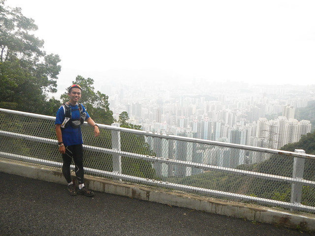
Gearing up and going through the items for one last time.
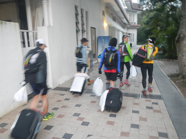
We checked out of the chalet at around 0700Hr.
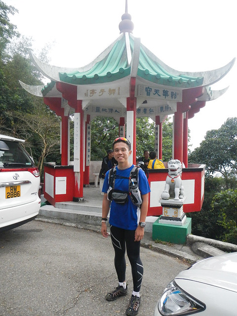
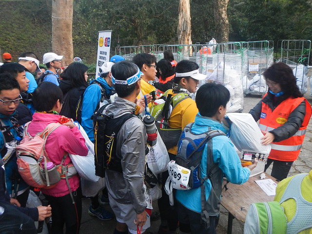
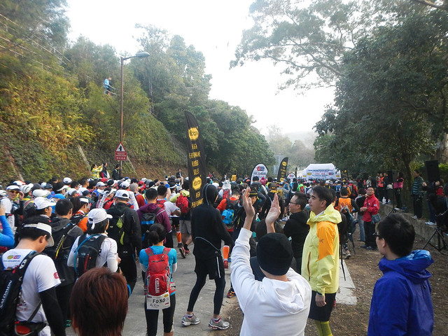
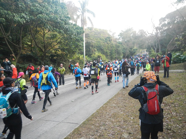
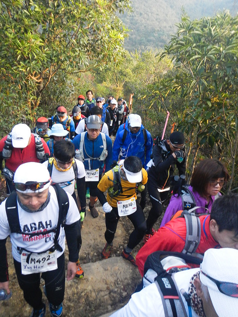
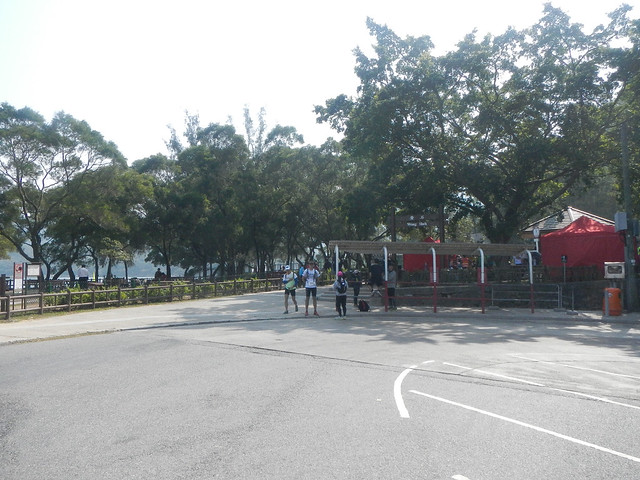
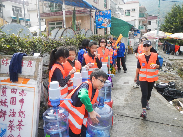
Participants arriving at Pak Tam Chung from other parts of Hong Kong.
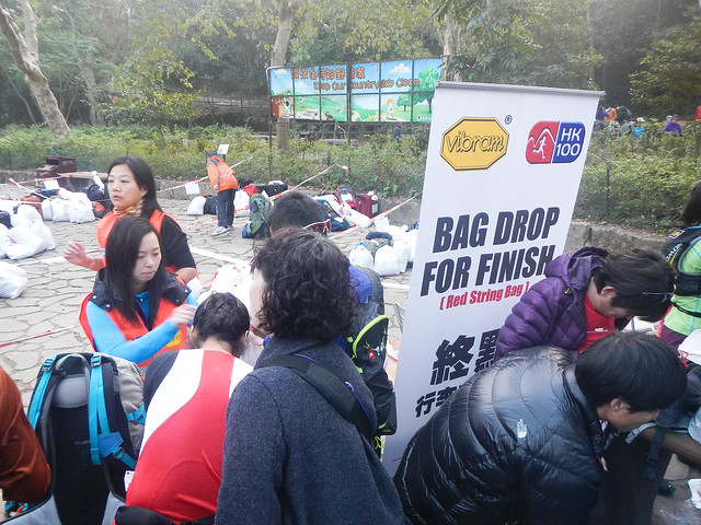
Depositing the finish point bag.
Depositing the drop bag.
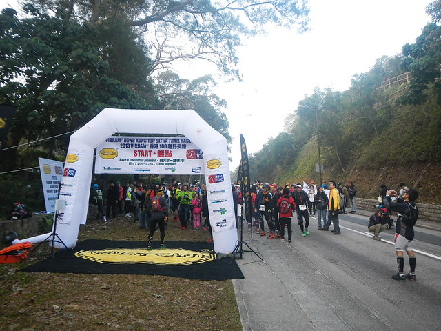
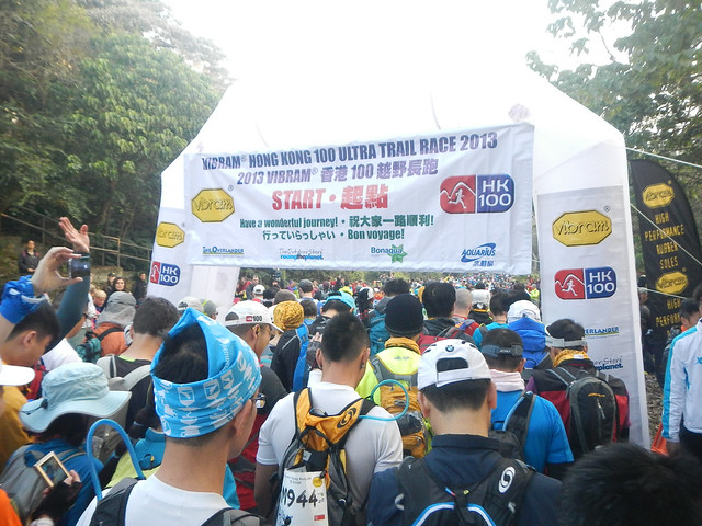
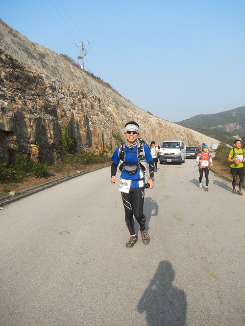
Start line.
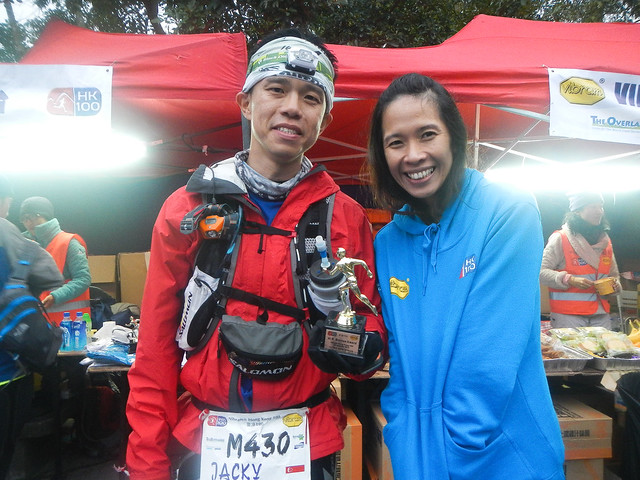
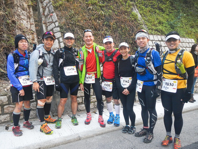
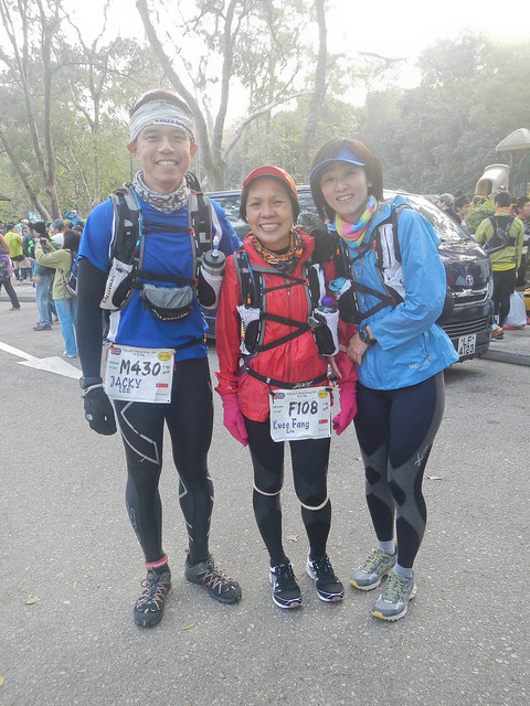
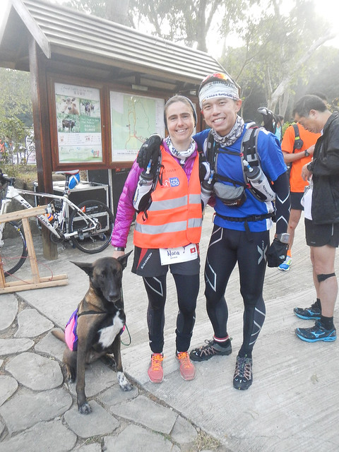
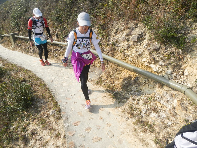
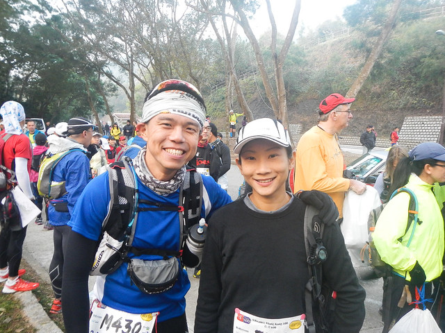
Sarina and Chui Lan. We always met each other when training at MR. This was their maiden 100km.
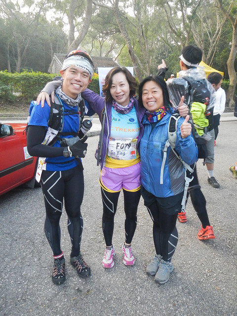
Found Bernie!!!
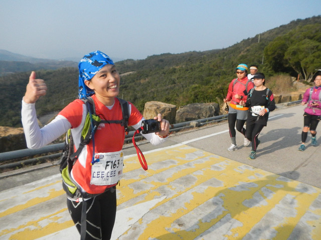
Met Seow Kong again. Also finally met Lee Lee for the first time.
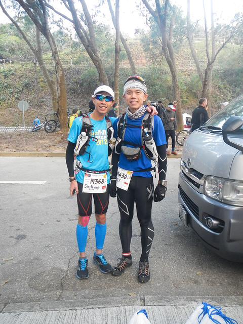
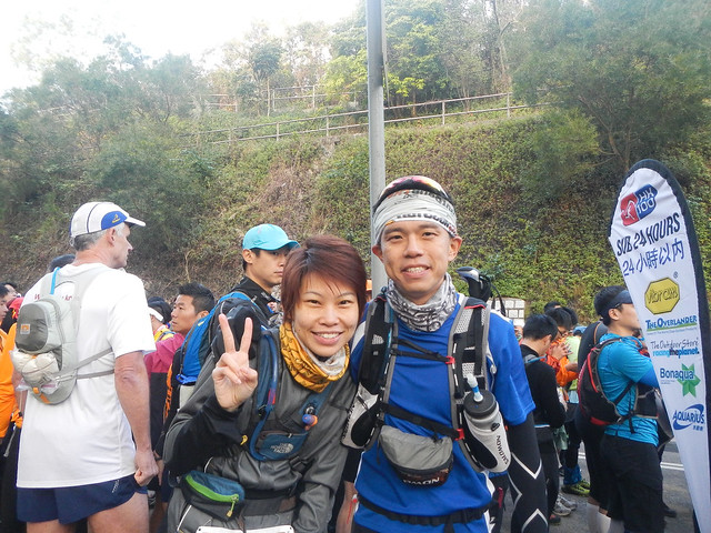
I got to know Jeremy during STY. We would be going back to Fuji again this year!
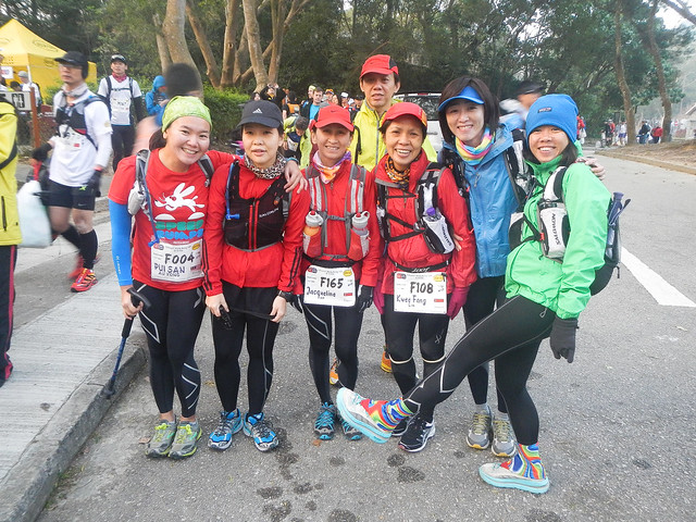
I was searching everywhere for them! Suki and Grass!
This was Nora. She was the HK100 female champion for 2012. This year, she volunteered to sweep the first half of the course. The dog, Wotan, would follow her all the way!
I met Nora at Fuji last year. She was also the UTMF female #3.
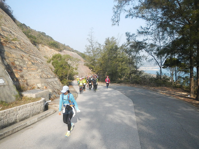
The race started at 0800Hr.
The 2 persons holding the mics were Steve and Janet, the joint race directors of the race. This year, Janet invited her mother to flag off the race.
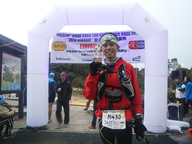
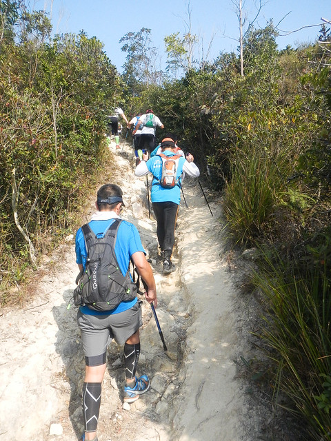
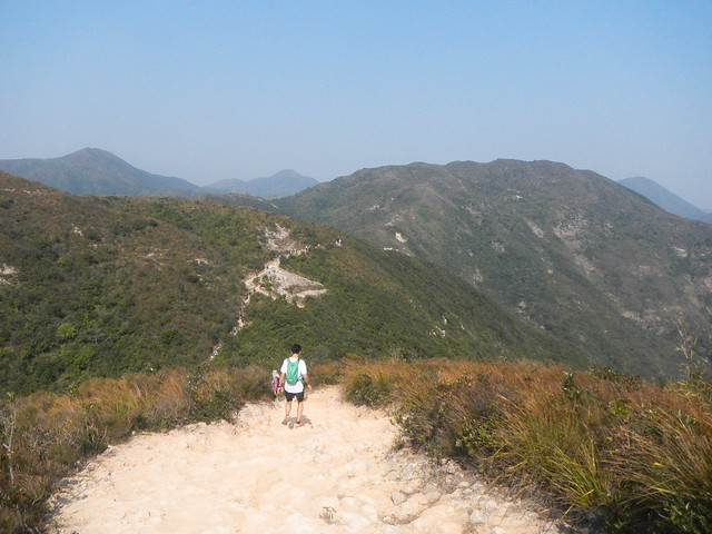
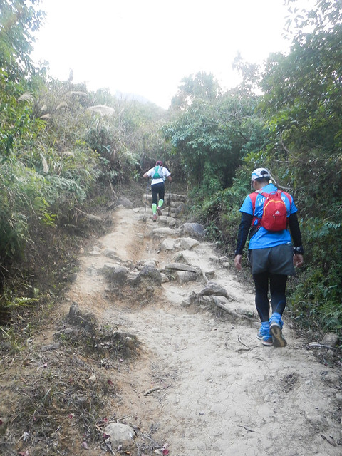
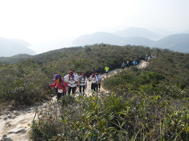
Our 100km journey begins now.
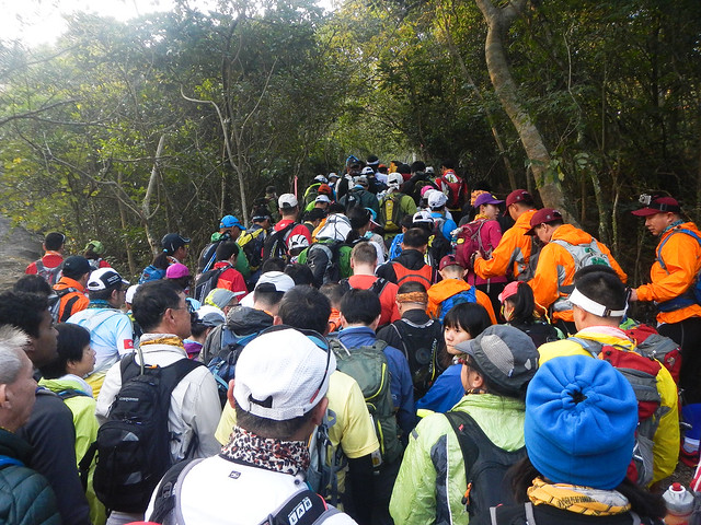
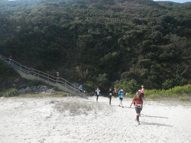
Within 1km into the race, as we turned into the trail, a serious bottleneck began to develop.
Everybody was moving slowly so it was very difficult to overtake.
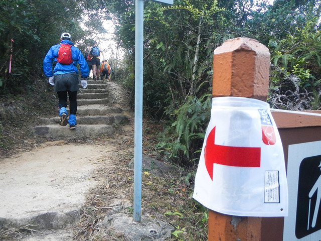
Directional signs used for the race. On the left was a reflective ribbon.
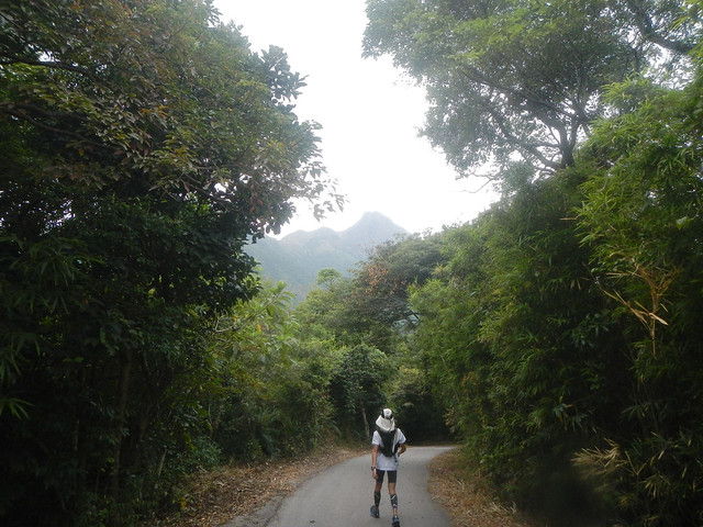
Coming to the end of the trail going onto the service road.
We exited the trail at around 4 - 5 km.
It was at this point that the bottleneck disappeared and the whole field began to spread out.
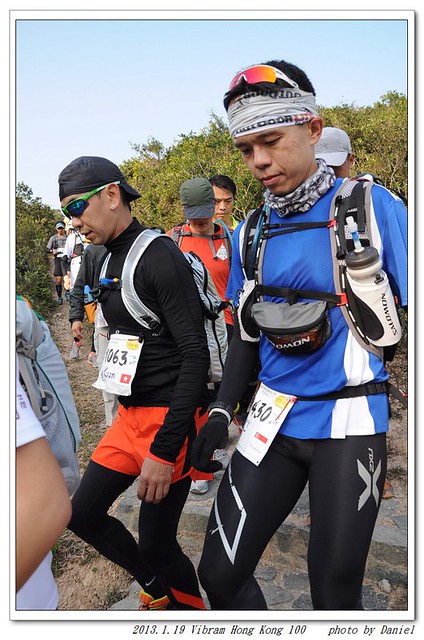
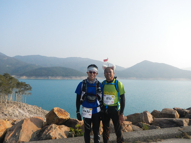
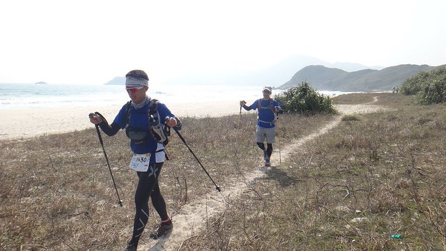
With Kim Lai.
Lee Lee.
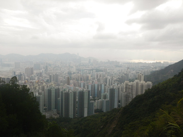
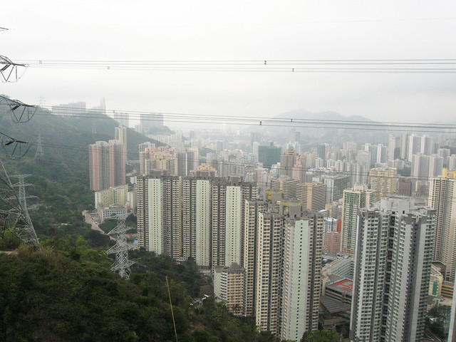
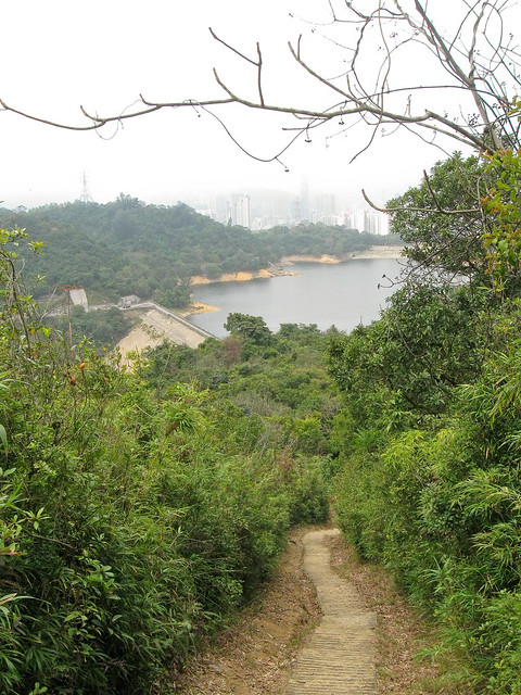
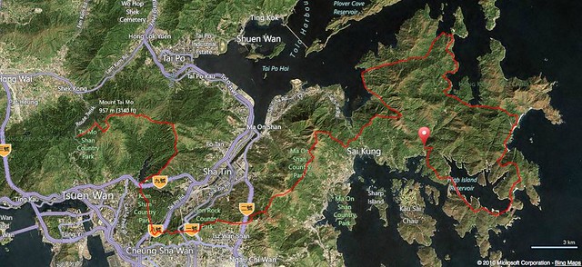
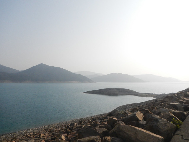
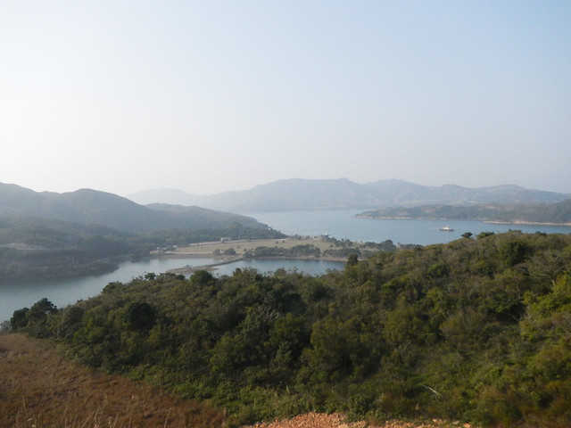
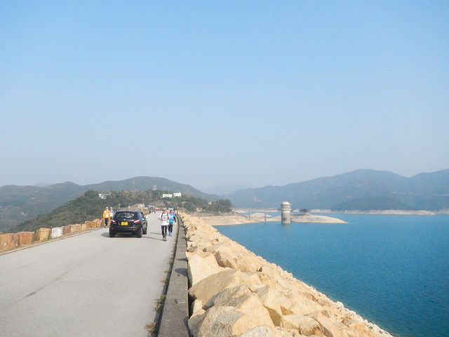
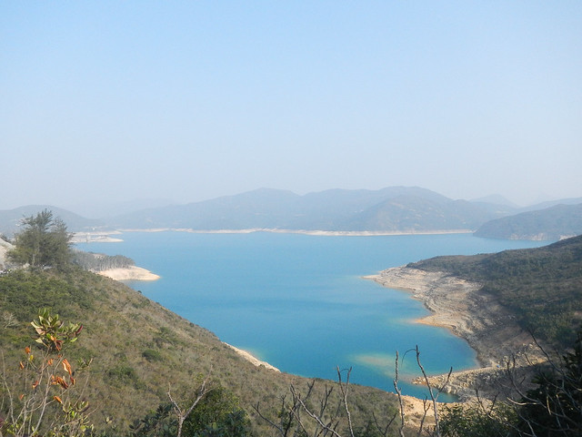
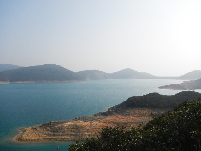
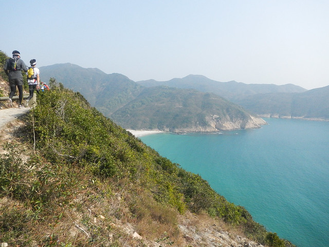
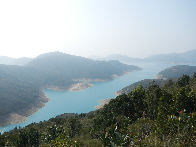
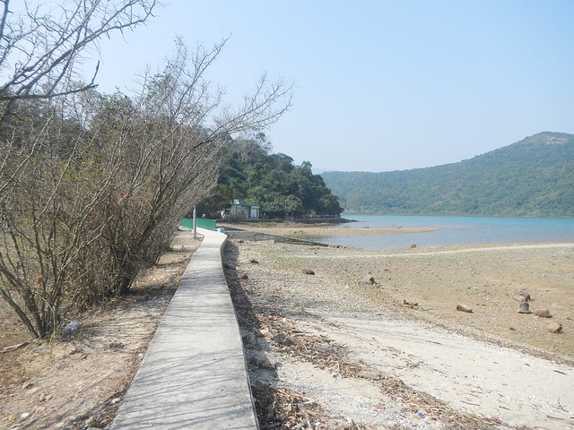
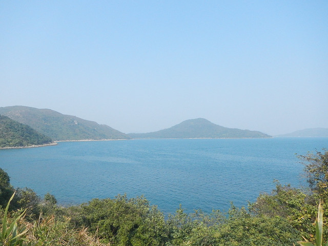
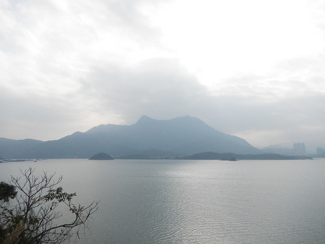
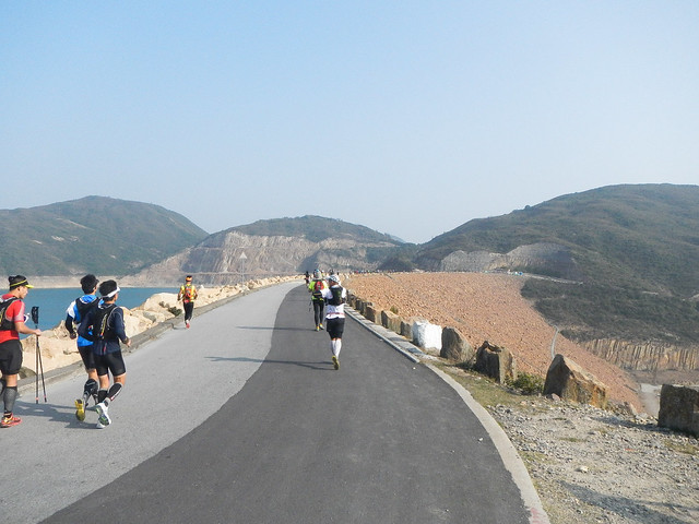
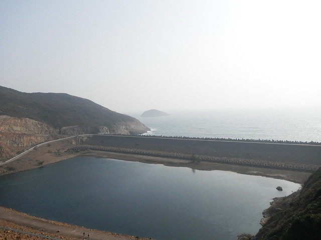
High Island Reservoir.
Saw Suki and Shing Shing!
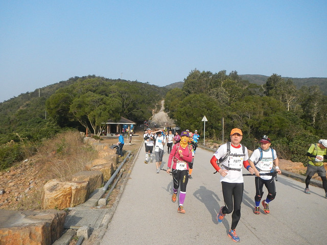
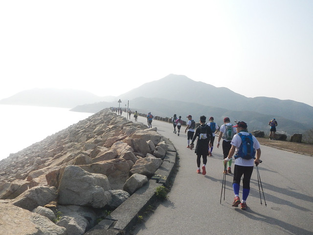
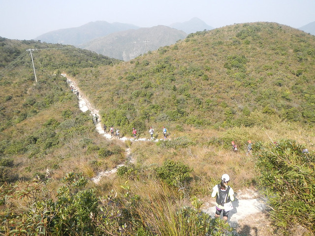
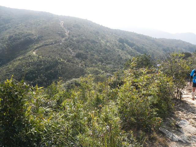
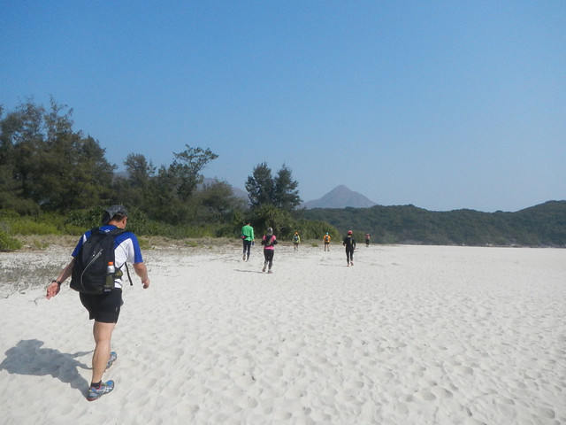
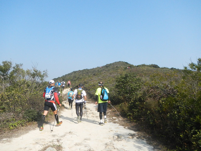
The field spreads thinner and thinner.
Water Sports Centre.
A very beautiful reservoir.
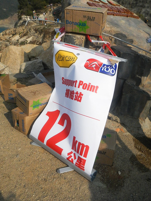
The Eastern Dam (东坝) was on the right of the background. The support station at 11km was at the end of the dam.
 Support Point Eastern Dam (东坝)
Distance: 11km
Time: 01:49:16
Support Point Eastern Dam (东坝)
Distance: 11km
Time: 01:49:16
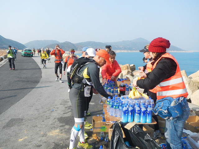
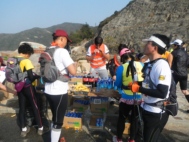

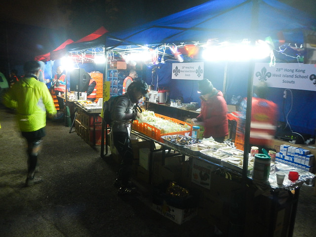
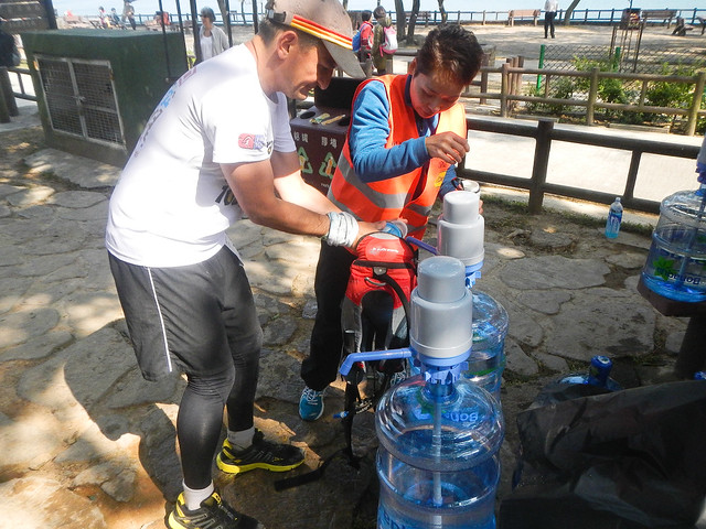
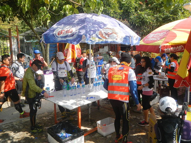
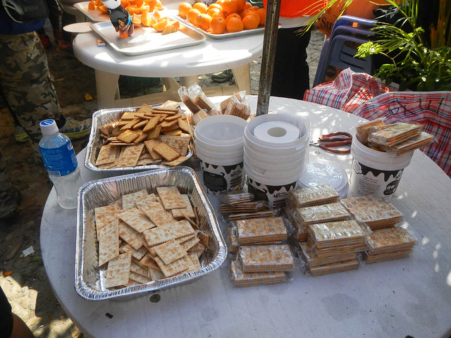
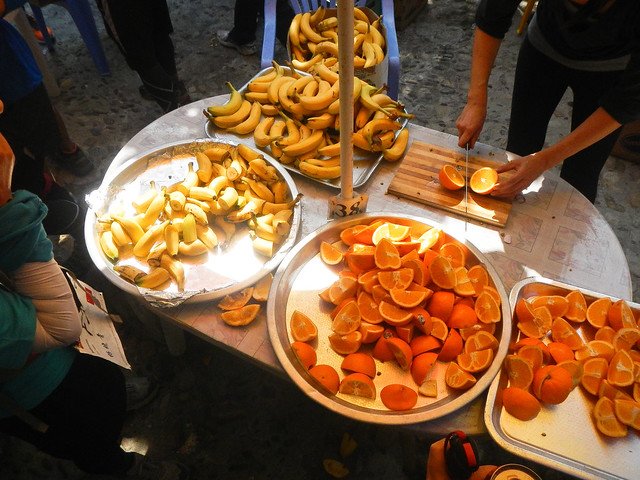
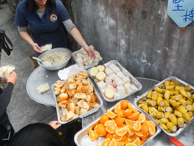
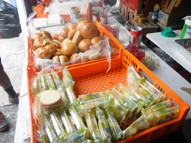
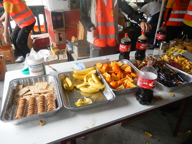
There were so much stuff at the aid station. Biscuits, chcolates, snicker bars, bananas, oranges, water, isotonic drinks .. and coke!
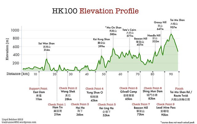
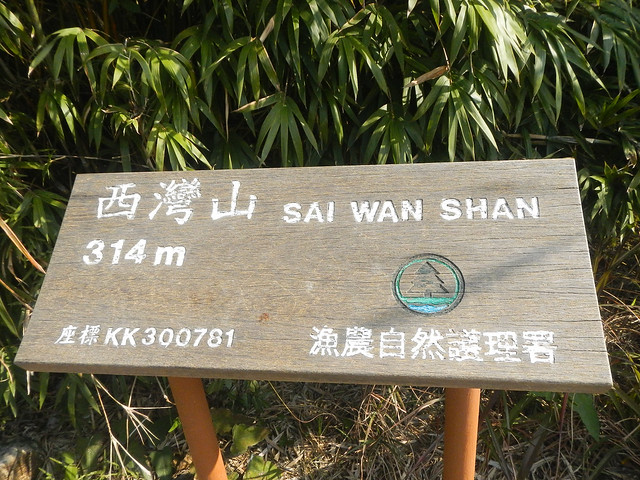
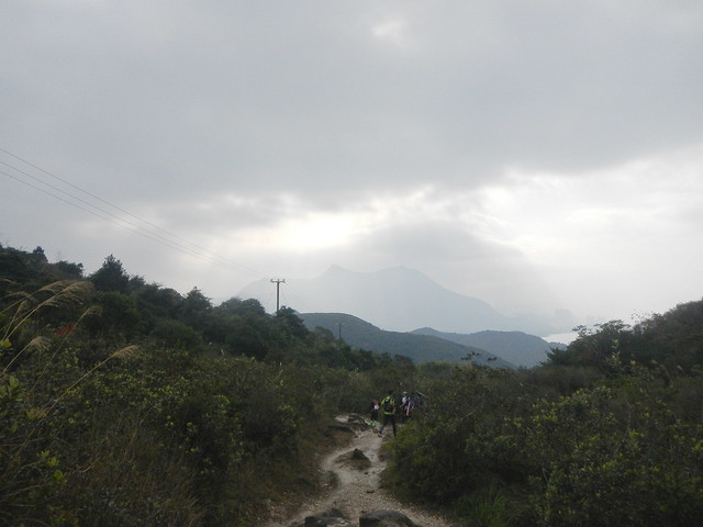
The next aid station is 10km away. We would pass through the first hill of the race route. Sai Wan Shan (西弯山).
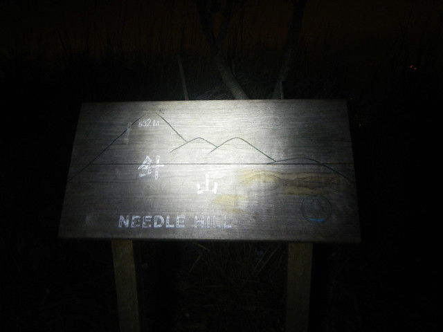
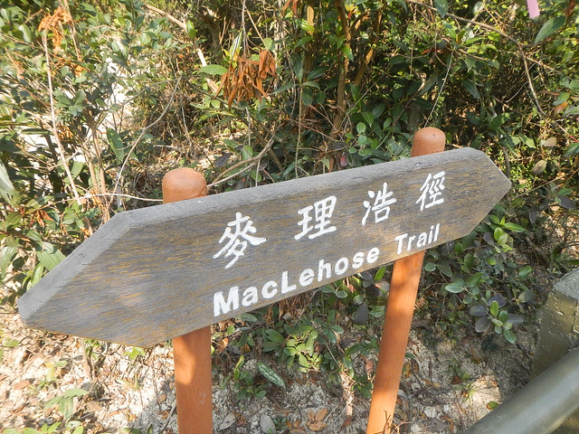
A sign that we would keep passing by in the race route.
Going towards Long Ke Wan. 浪茄弯.
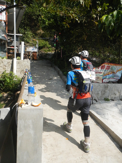
By now, the field was beginning to thin out.
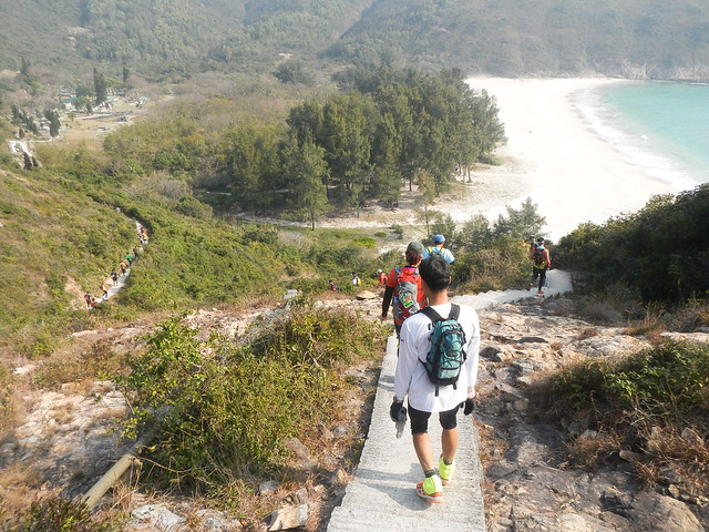
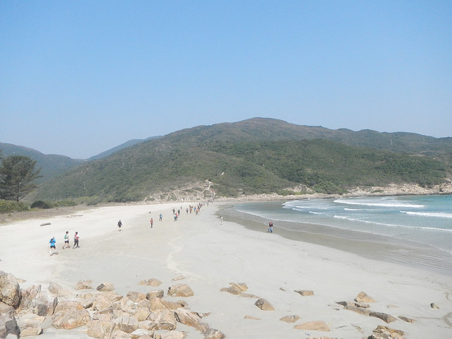
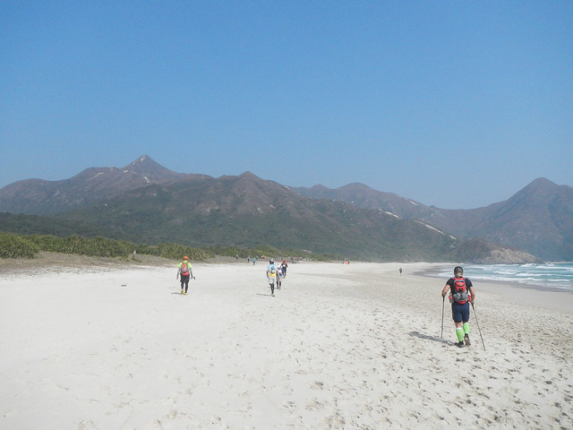
The first beach that we would pass by.
Ascending Sai Wan Shan (西弯山).
Descending the hill.
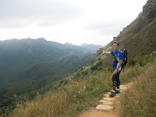
Beautiful view.
We would go down the hill and up the other hill in the background. Those around me steadily ran down while I was trying to overcome the fear of falling down going downslope.
Looking back, the terrain was not that difficult. Yet, I just could not muster the courage to run down.
I was on the other hill in the background just now, looking towards this direction.
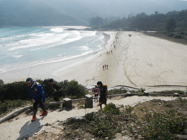
The second beach of the route we would pass through.
The third beach at Ham Tin Wan (咸田弯).
CP 1 Ham Tin Wan (咸田弯).
CP1 Ham Tin Wan (咸田弯)
Distance: 21km
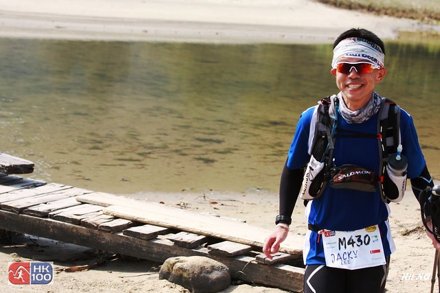
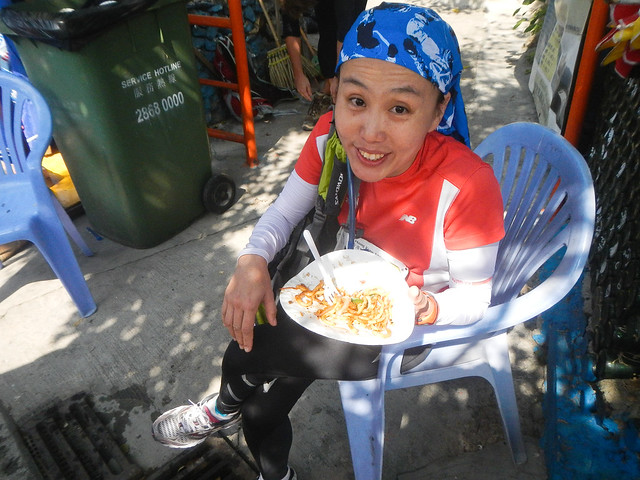
Bumped into Lee Lee again who was enjoying her fried noodles.
Setting off.
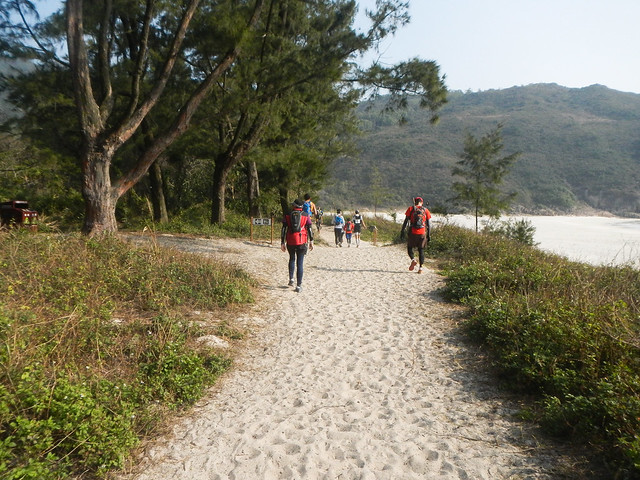
Passing through another beautiful beach.
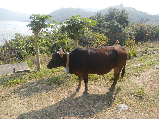
Cows suntanning at the side, oblivious to us running pass them.
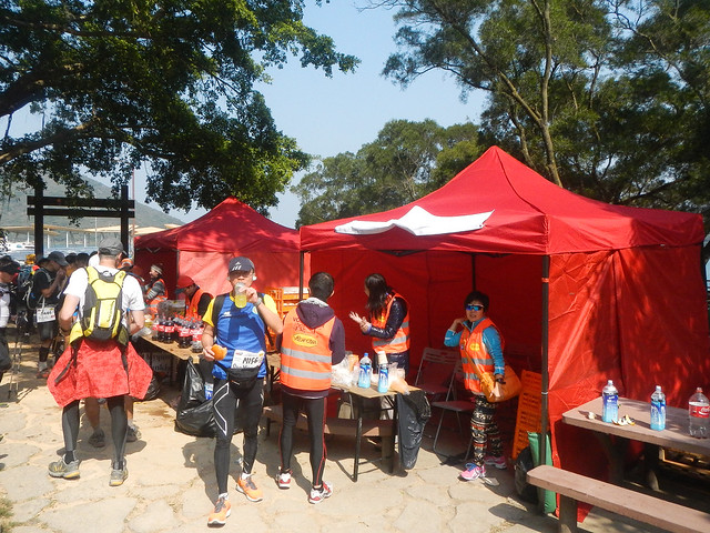
The next aid station was only 7km away so we reached it fairly quickly.
CP2 Wong Shek (黄石)
Distance: 28km
Time: 04:58:59


They used this air pump for runner to fill their water. More efficient compared to pouring them from bottles.
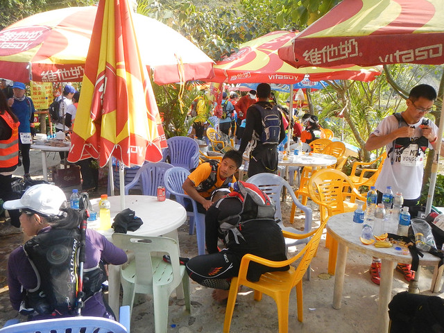
Leaving CP3.
Up till now, I was feeling the effect of not having a well rest the night before. I stayed at CP3 for a while longer to finish my bread. Normally, I would just eat on the go.
The exit of CP3.
The CP was actually next to a jetty.
As it was the countryside, cows like this were free to roam about freely. I remember there was one part of narrow trail where I was running and suddenly a cow just appeared in front of me coming towards my direction. I panic and was just about to step to the side for it to cross when it cut into the vegetation at the side. Phew .. :p
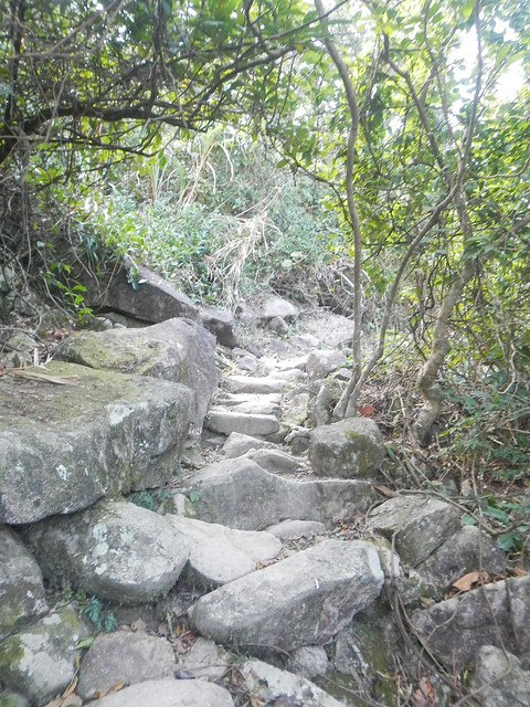
There were a lot of places we ran through which were covered with such big rocks, making running across them difficult.
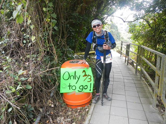
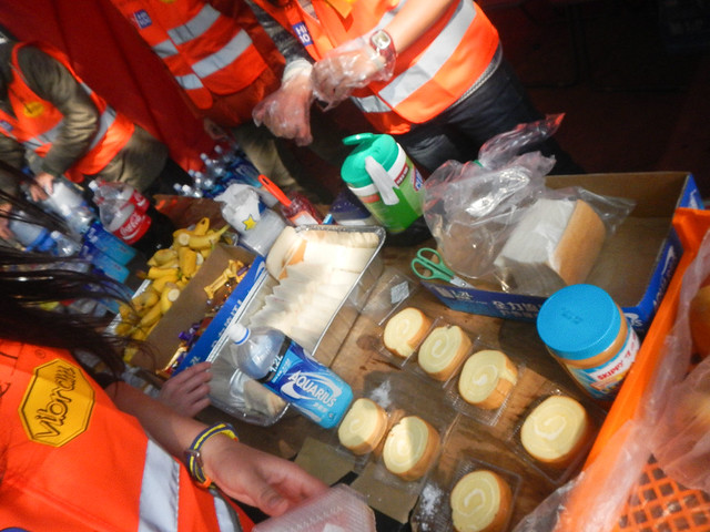
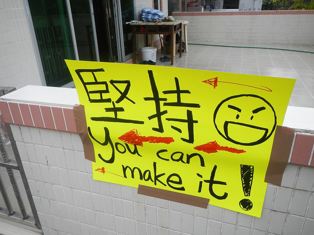
The next aid station had the most posters pasted around by the volunteers.
They were honest too. "Only" 2/3 to go!
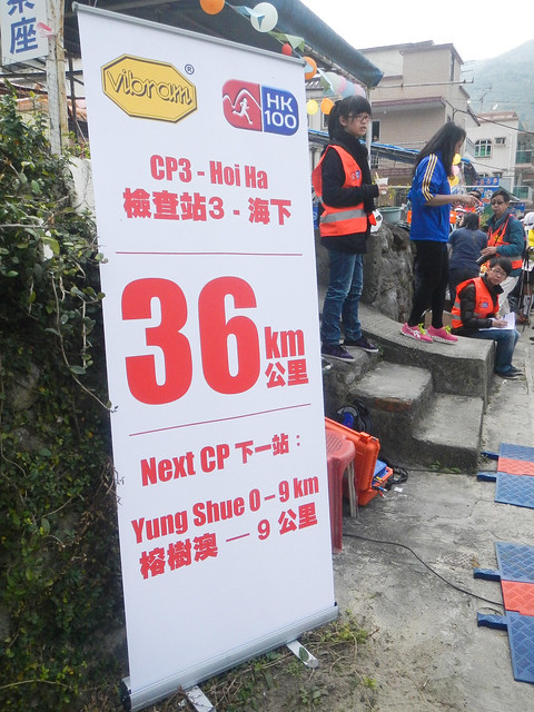
CP3 Hoi Ha (海下)
Distance: 36km
Time: 06:39:55
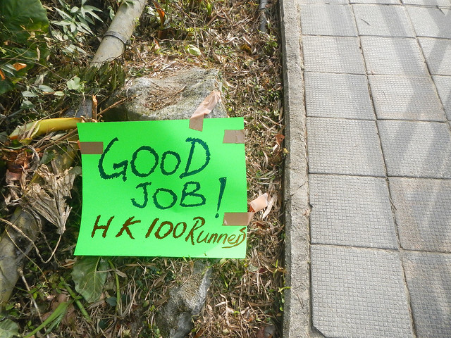
Volunteers pasting more posters along the way where we would pass through.
Before the race, I had hoped that I would reach Ma On Shan before sun set. Now I know that it was impossible.
The shadow of Ma On Shan looms in the background.
A closer view of Ma On Shan.
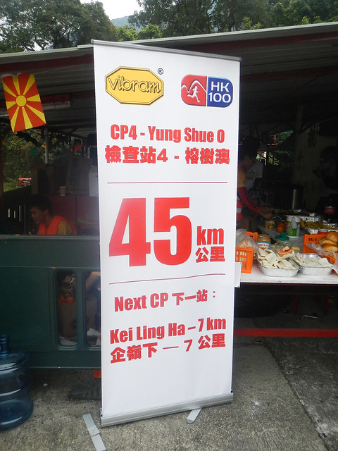
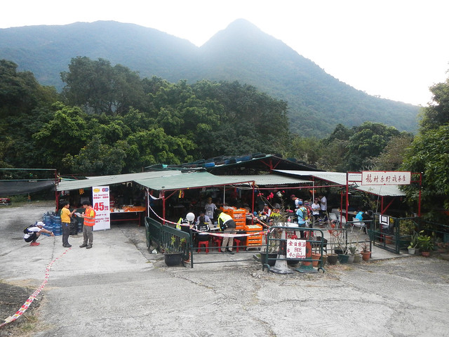
CP4 Yung Shue O (榕树澳)
Distance: 45km
The next CP would be at Kei Ling Ha. It would be where our drop bags were located. I hoped to reach it before nightfall. In between me and the CP stands another hill. Kei Kung Shan (鸡公山).
We had to cross another hill before coming to Kei Kung Shan.
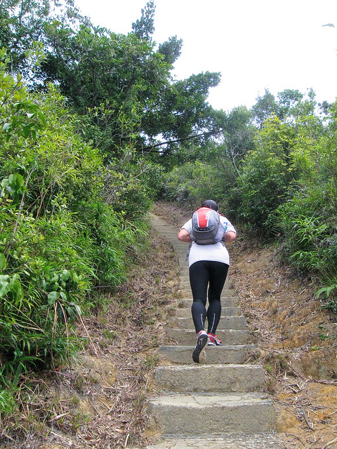
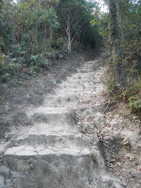
This was the beginning of the steps up Kei Kung Shan (鸡公山).
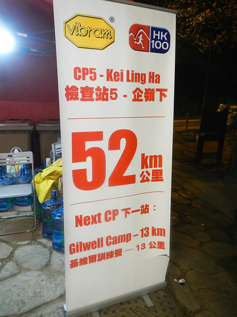
CP5 Kei Ling Ha (企岭下)
Distane: 52km
Time: 09:58:25
There was a long flight of steps leading down to CP5. I was trying to go down fast yet mindful of tripping over. I reached CP5 just before 1800Hr when the sky was just about to turn dark.
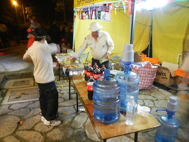
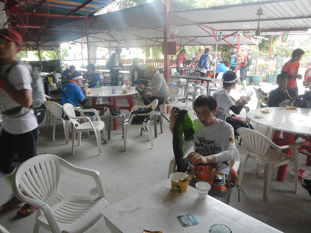
I met Terence and Archer at CP5 who arrived some time before me. I quickly located my drop bag and joined them at one of the BBQ pits around the area. Jasmine and Alex were also around. Alex seem to have trouble finding his drop bag. The volunteers also could not locate it. It may have been misplaced among the many many drop bags. They left CP5 without finding Alex's drop bag. This meant he may not have replenished his supplies.
I found my bread meant for CP5 in the drop bag and tried to eat it. It had turned a little cold from the weather and was not very appetising. Terence helped me collected a bowl of cup noodles. While waiting for the noodles to be cooked in the cup (the water was not really hot), I packed and replenished my supplies. Knowing the bread I had kept in the drop bag meant for around 70km would also be cold, I did only took half of them as I guessed most probably I would not have appetite to eat them. I also connected my Garmin 310 to the power bank as the remaining power would not last me through the night.
The noodle was definitely more tasty than my cold bread. I finished almost all the noodles and drank some soup for the salt in it. I quickly putting on my waterproof jacket and wore my two headlights. One on the forehead to shine far, one attached to the shoulder strap of my hydration bag and turned to wide beam to shine on the ground directly in front of me.
Terence had already left. I told Archer to go ahead and not to wait for me. I stayed at CP5 for around 30 mins. Its time to move. The distance from CP5 to CP6 would be the longest compared to the others. The second half of the race was also packed with hills after hills. It would be a long night.
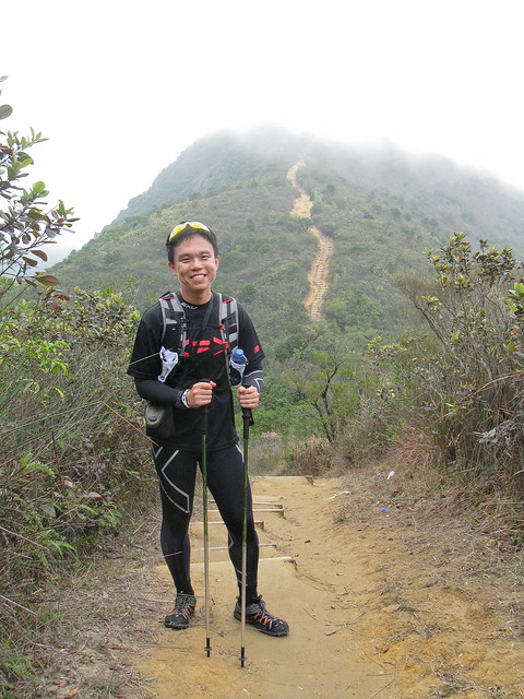
The first hill that we had to conquer was Ma On Shan (马鞍山).
 |
| Oct 2012 |
This was the daytime view towards Ma On Shan. From CP5 onwards, I guessed most of it would be covered in power hiking as there were a lot of hills.
 |
| Oct 2012 |
This was the start of the climb up Ma On Shan. Daytime view.
 |
| Oct 2012 |
Daytime view of the climb up Ma On Shan.
It was a long climb up. As we climbed, we could see the trail of headlights dotting the way up the hill, slowly inching forward. Luckily I had came in October last year to test the route so I knew what was coming at us. I was already prepared mentally. There were still curses and swears though.
I met Jasmine and Alex while going up. I am not sure what happened but Alex seems to be struggling and Jasmine was keeping her eyes on him.
We were supposed to go up to the middle of the"horse saddle" of the hill. 马鞍 means horse saddle. By the time I reached, my garmin was already fully charged.
 |
| Oct 2012 |
Daytime view.
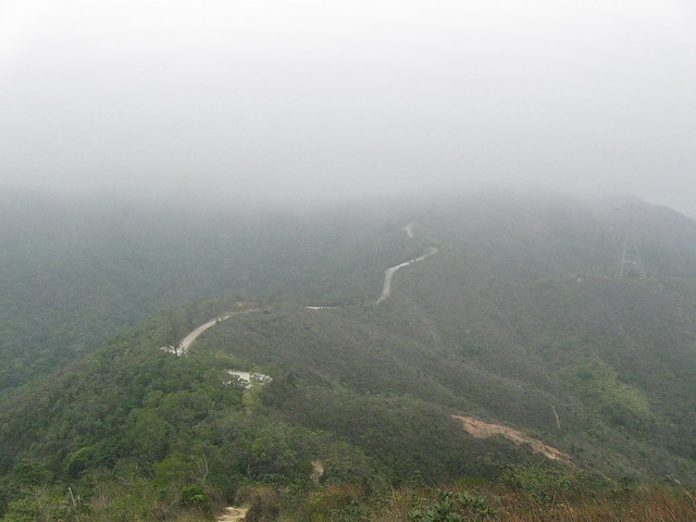
We would continue our way along the top of those small hills.
I saw several firefighters on around the area. One of the runners asked them if there was a bush fire and they replied yes.
After crossing the small hills, I began to get fed up of myself. "This cannot carry on!", I told myself. "I need to move faster!" With that, I broke into a fast power hike. Slowly, I began to overtake other runners, who had reduced to a slow walk.
 |
| Oct 2012 |
Daytime view.
I remembered passing this section. Bernie had told me before the locals called this section the Great Wall as it was laid out in huge rocks and resembled the Great Wall of China.
The route wound through the hills. Any wrong footing and we could possibly fall of the slope on our left. I was all alone now, having overtake quite a number of runners. As I continued my fast march, I was wondering where were the other runners? Had I really pull off away that far from them? I turned back to look and saw there was a trail of headlights moving along another hill where I had passed through some time ago. Alright, they were still there and moving along slowly. I carried on my fast march ahead.
The terrain was still roughly familiar to me as I just did the test run on October last year. The distance from CP5 to CP6 was 13km but I knew I had done it before with each step I took.
Some distance before reaching CP6, I met Archer. He was looking good.
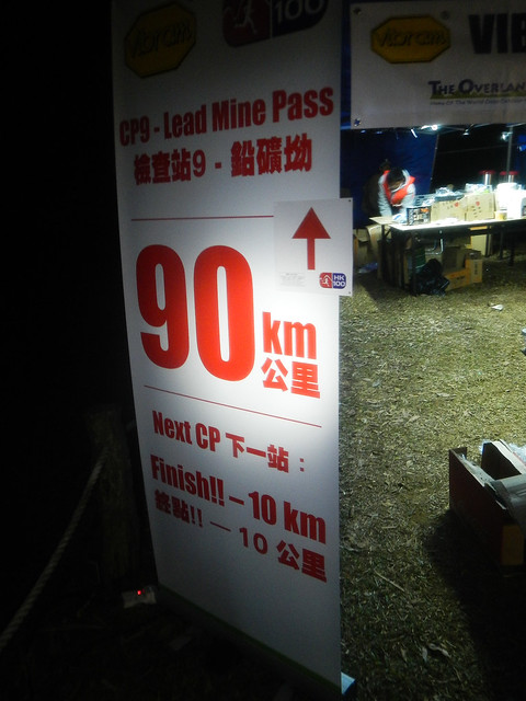
CP6 Gil Well Camp (基维 尔训练营)
Distance: 65km
Time: 13:53:03
I fill up a cup of Coke, drank it and took another cream roll and ate it as I left the aid station. I did not wish to stay there for too long.
The catch was to keep moving.
Keep moving.
35km to go.